
|
Getting your Trinity Audio player ready...
|
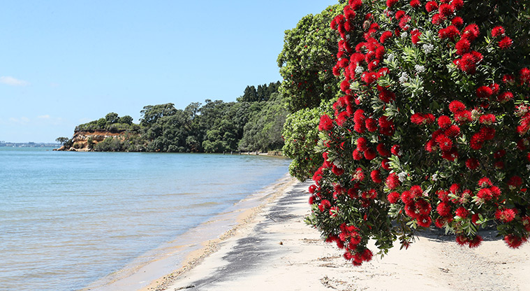
With more Aucklanders heading to the beach this summer, the risk of life-threatening
incidents is higher than ever.
That’s why the Safeswim programme, website, and app, instigated by Auckland Council, has added 16 more sites across the region.
This makes the total number of beaches, lagoons, streams, and lakes with water quality
information on Safeswim to 163 sites, from Aotea Great Barrier through the Hauraki Gulf to
Waiheke Island, across the east and west coasts, and down to Franklin.
Safeswim provides swimmers and holidaymakers with real-time water information every 15
minutes.
Last summer, Auckland beaches were suitable for swimming 84.5 per cent of the time, and
Safeswim achieved 93 per cent accuracy, its highest performance to date.
The app shows users the water quality of beaches, and alerts them to information they should know about, like lifeguard patrol times and hazard warnings, such as dangerous rips in the area.
New sites include Wattle Bay, Brook Beach and Te Toro on the Āwhitu Peninsula, Campbells Bay on the North Shore, Enclosure Bay on Waiheke Island, Karekare Falls in the Waitākere Ranges, Medlands Beach North and South on Aotea Great Barrier, Lake Rototoa and Maukatia Bay in Rodney, and Sullivans Bay at Mahurangi Regional Park.
Auckland Council Safeswim manager Holly Foreman says the addition of the new sites
means Aucklanders can now check even more of their favourite swimming spots on
Safeswim.
“Safeswim gives people trustworthy, up-to-date information so they can enjoy the water with confidence.
“Water quality and conditions can change quickly, and those shifts aren’t always visible from the shore.
“Checking Safeswim before you head out is the best way to stay informed throughout
summer.”