


|
Getting your Trinity Audio player ready...
|
Auckland Council has today confirmed new areas across Franklin where higher-density housing could be built, including zones around Drury, Ngākōroa, Paerātā and Pukekohe train stations, under a major revision of the city’s building rules.
The proposed Plan Change 120 replaces the earlier Plan Change 78 and forms part of the council’s overhaul of the Auckland Unitary Plan, which determines where and how new homes can be built.
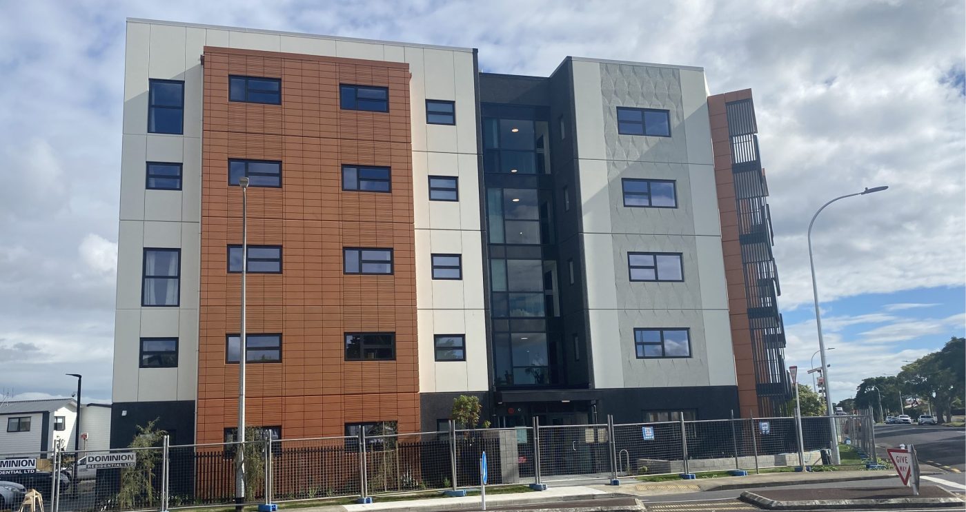
In Franklin, walkable catchments of around 800 metres from the upcoming Drury Metropolitan Centre and the Drury, Ngākōroa, Paerātā and Pukekohe train stations are proposed to allow buildings of up to six storeys, supporting future population growth around public transport and new rail hubs.
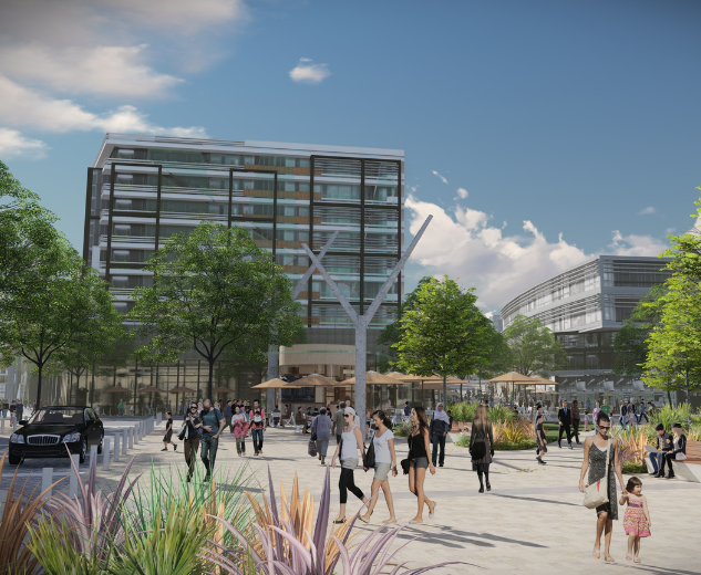
By comparison, south Auckland centres will see much taller limits under Auckland Council’s proposed plan. Manukau Metropolitan Centre and the Manukau and Ōtāhuhu train stations are designated for up to 15 storeys within an 800-metre walkable catchment, while Papatoetoe and Puhinui stations are zoned for up to 10 storeys.
Focus on safer and smarter growth
Auckland Council says the updated plan responds to lessons from the 2023 Auckland floods, introducing tougher rules to protect people and property from flood and coastal hazards.
“The 2023 Auckland floods were a turning point for our region. As one of our most significant natural disasters, they devastated communities, caused billions in damage, and, most tragically, cost lives,” Auckland Council said in a statement on its website.
“At the time, Auckland Council was part way through Plan Change 78, which intended to introduce rules set by the previous government to boost housing supply by allowing three homes of three storeys in most residential areas across Auckland.
“However, the severe weather of 2023 made it clear that some areas are not suitable for new homes and that Auckland needed even stronger rules to better protect people in the most vulnerable areas.
“While Plan Change 78 proposed more housing by allowing three storey housing in most residential areas across Auckland, the legislation didn’t let the council limit building in high-risk flood areas.”
Read more: The future of housing in Franklin
Now, Plan Change 120 will also concentrate new housing in well-connected areas close to shops, schools, jobs and frequent public transport, while limiting development in high-risk areas.
“Following the floods, it became clear that some areas are simply not suitable for new housing,” the council said.
“These changes give Auckland stronger powers to protect communities while still providing for growth in the right places.”
Franklin and southern growth
The Franklin and southern Auckland growth corridors: Drury, Paerātā, Pukekohe and Papakura, are central to the council’s long-term urban strategy.
New six-storey zones are proposed within walking distance of the developing Drury Metropolitan Centre, Drury, Ngākōroa, Paerātā, and Pukekohe train stations, while Papakura, Takanini and Te Mahia will also see increased height limits around town and transport hubs.
In high-risk flood or coastal areas, new developments will face tougher restrictions and may require additional consents. The rules will give the council stronger powers to assess where development is appropriate and what protections are needed.
The plan aligns with major infrastructure investments such as the City Rail Link and Drury rail expansion, directing more housing near public transport to make better use of these upgrades.
Auckland Council says this approach will help infrastructure providers plan and fund essential services more efficiently by giving a clearer picture of where growth will occur.
“By focusing new homes near trains, busways and frequent bus routes, we can build communities that are both resilient and well-connected,” the council said.
“This plan change allows higher density housing, but property owners and developers influence what actually happens based on market demand. Even in areas allowing apartments, there will still be a mix of housing types, due to the different choices landowners might make.
“This doesn’t mean local areas will change overnight. Development usually happens gradually, typically over decades. There can be limits to building heights and density where it may not be suitable and where it’s supported by good evidence, for example, to protect sites with coastal character.”
The council says stronger hazard rules apply from Monday 3 November 2025, when Plan Change 120 is notified. However, they are subject to change following the public submission process which runs until December 19.